My friend Tim Sullivan and I decided to attempt the CO Front Range Super Randonnee 600 this summer. This is an out-and-back course designed by John Lee which starts in Niwot, climbs up St Vrain Canyon, and travels along the eastern edge of the Rockies to Woodland Park. Then you turn around and ride back to Niwot. So the entire route is 375 miles with over 34,000 feet of climbing. It promised to be a beautiful cycling adventure and challenge, and it would be almost all new roads for me. With John Lee's encouragement, I am writing this report in the hopes that it will be useful to some intrepid randonneurs who ride this route in the future. As a reference point, Tim and I would be considered middle-of-the-pack randos in terms of speed. And we both live in coastal California, so we were not altitude acclimated at all.
 |
| Bighorn sheep (look closely) |
Last summer Tim and I rode the Sequoia/Kings SR600 in California, and for some silly, ego-driven reason we wanted to finish in under 50 hours (which was the originally established time limit for this type of ride). We did manage to finish in 49 hours, but we only had 2.5 hours of sleep, which made for a pretty miserable second day and night. This year we wisely decided to take full advantage of the new 60 hour time limit and arrange for two overnight sleep stops. The way we divided up the 600km was to ride 189 miles (half way) to Woodland Park on the first day, then 100 miles to Idaho Springs on Day 2, followed by a relatively easy 90 miles on day 3 to the finish. We started at 5:00am on Thursday morning, which meant we had to finish before 5:00pm on Saturday afternoon. Even though this plan was developed mostly based on availability of hotels, through dumb luck it turned out to be a good way to apportion the ride.
After getting our required time-stamped control photo, Tim and I left the start promptly at 5:00am. We got to the Lyons control before 6, and were delighted to see that there were open restrooms at the Visitor's Center. Now it was time to climb, climb, climb up into the mountains. The gradients were mostly comfortable, it was not hot yet, and we had a bighorn sheep sighting, so those early miles seemed to fly by.
We stopped at the Peaceful Valley Lodge to get water. After I had filled both my bottles from a hose outside a cabin, the caretaker told us that their water was not treated water, "it comes straight out of the crick." At that point there was nothing I could do but take my chances because it was quite a ways to the next water source (and I must say that water tasted wonderful.)
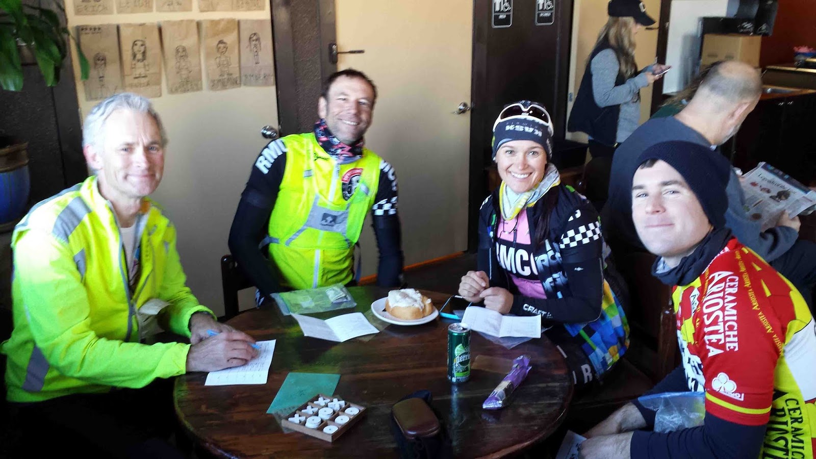
Our first real stop (at about 10am) was in Nederland, a funky mountain town with plenty of coffee shops, bakeries, and pot dispensaries (if we were interested in that). Our coffee shop of choice was in an old, converted house, and the decor in the bathroom was entertaining, especially the skeleton in the bathtub.
After coffee and a peanut butter bagel, we continued on with high spirits. The little spur to Eldora was fun- easy riding and amusing signs put up by the local to make sure drivers respect the 25 mph speed limit. Then there was a scenic section with expansive views along the mountain ridge on Highway 119 before we got to the least pleasant part of the course- getting through Blackhawk and Central City. These are old mining towns that are now full of casinos and hotels. Blackhawk is
not bicycle-friendly (Google the city ban on bicycles in 2010), and the bike route that bypasses the central streets goes over some very steep, rough climbs. But we just gritted our teeth, kept pedaling, and got through it.
When we got to Idaho Springs, we were ready for some real food. We skipped the fast food joints at the entrance to town and kept going to the downtown district on Miner St. There we found a good selection of restaurants, including a really nice deli that is popular with the locals.
After fueling up, we were ready to tackle the monster climb up to Echo Lake. It is about 14 miles of climbing, but the gradients are very reasonable and I was feeling good. I was tired at the top, but not exhausted. (I think Tim might have a different memory of this climb.) The control is at the lodge at an elevation of 10,600 ft. Then we kept climbing for 3 more miles up to the
cima coppi of the course at over 11,100 ft. Originally Tim and I had planned to stop a bit at the lodge, maybe have some chili, but we both felt a little light-headed in that rarified air, so we decided to get down to lower altitudes as quickly as possible. The descent on Witter Gulch made us pay attention- many sudden, steep, sharp switchback turns with no warning signs.
When we got to Evergreen, we skipped the crowded bars and restaurants on the main drag. We kept riding along the course for about a mile to a little deli adjacent to a liquor store. (BTW, this ride taught me that in CO liquor stores only sell liquor, don't expect to find chips and snacks and other bike food. Also, don't expect to find any real beer in a convenience store. Stupid liquor laws- I'm surprised the citizens of CO put up with this.) Evergreen is about 200km into the ride. So at this point we knew we had 100km to go, with about an hour of daylight left. It was going to be a long night to Woodland Park.
The climb from Evergreen up to the control at Sandy Lane was surprisingly steep. It was just about dark when we took that control photo. Then we dropped down to Conifer, where we stopped at a gas station/C-store. We knew that that would be the last place to get food until we got to Woodland Park- all the businesses in Decker close pretty early. There is a significant climb between Conifer and Deckers. As we were riding in the dark, we could hear a rushing river, but couldn't see any scenery (there was no moon yet). Just before getting to the road junction at Deckers, we turned into the Lone Rock Campground to get water. I was so happy that we found a water spigot right away and didn't have to wander all over the campground, shining our lights and waking up the sleeping campers.
On we continued on to Woodland Park. It was mostly uphill, sometimes gradually so, sometimes a real climb. I'm sure Tim and I each imagined what the scenery looked like in our minds, not being able to make it out. It was a real treat the next morning when we rode back through this same area in the daylight and saw how pretty it was.

We arrived at the control spot in Woodland Park
at 2:30am, a little later than I had hoped, but
still okay. I chuckled at the misspelling in the control sign as I snapped the picture. We then made a quick stop at the 24 hour Loaf 'n Jug in town for some food, and headed back down the street a half mile to the Bristlecone Lodge, our sleep stop. The motel staff was very helpful- I had called in advance to explain our very late arrival, so they had left our room key (and a map) in an envelope on the office door for us. And our USPS Priority Mail packages that we had sent to the hotel with clean bike kits were waiting in our room for us. (We had included a prepaid return mailing envelope in those packages so that we could mail our dirty clothes back home. The USPS makes a pretty good drop bag service.)
There was no need for us to leave early in the morning on day 2 because we only had 100 miles to cover. We slept until about 7:30, got ready to ride, then had breakfast at the motel at 8:00 when it opened. After breakfast we took off for Deckers, enjoying the mostly downhill ride and all the beautiful scenery we had missed the night before. Once we got to Deckers we stopped at the restaurant/bar for our second round of coffee and breakfast #2 (this is why I love bike riding- two breakfasts!).

We made slow, but steady progress over the climbs to Conifer. The stretch along SW Platte River Road was especially beautiful and enjoyable. In Conifer we stopped at the same gas station we had visited the day before (this seemed to happen a lot during this ride). As we were drinking our drinks and munching our snacks, the sky darkened, the temperature dropped significantly, and it began to rain. We took off in a fairly steady rain, each of us worrying about what the weather might be like up on the big mountain later in the afternoon. It rained off and on to Evergreen, where we stopped at our same deli to have soup and a sandwich.
When we left Evergreen, we caught a huge break- the rain stopped. And by the time we were struggling and grunting up the switchbacks of Witter Gulch, the sun was out. It stayed mostly sunny for us all the way over the 11k summit and on to Echo Lake Lodge. But even in the sun, the air up there on the big mountain was very cool. I put on all that clothing I had been carrying with me for the long descent into Idaho Springs and stayed just warm enough.
Poor Tim didn't have as many layers to put on and shivered his way down the mountain. We arrived in Idaho Springs at about 7:30pm, picked up some take-out dinner from Beau Jo's Pizza and checked into our rooms at the Argo Inn hotel. That night I had the amazing luxury of seven hours of sleep, and woke up feeling recovered and raring to go.
We decided to give ourselves 11 hours in order to finish the last 90 miles of the ride on day 3. We figured it would actually take about 9 hours, but we wanted to have a buffer in case things went wrong. So we hit the Starbucks near the hotel at 5:45 for some coffee and a little breakfast, then off we went. The climb up the Central City Parkway was hard and not pleasant, but at least there was very little car traffic early in the morning. And I knew that once we got through the Central City/Blackhawk area, the rest of the ride would be enjoyable. After Blackhawk, I really enjoyed the third day- I felt strong thanks to a good sleep, and we knew we didn't have to rush so we could enjoy our stops. We continued our pattern of stopping at the same places we had visited on the outbound leg- Taggert's Shell station on Highway 119 and the Happy Trails Cafe in Nederland. Then on the final descent we added an ice cream stop at the Raymond Store. That was an interesting place- staffed by an older gentleman who wrote down all of our purchases in a little notebook. And the cold drinks were in a 1950's vintage refrigerator.
We had another unexpected blessing when we got down onto the flats, leaving Lyons. There had been a triathlon early that day, so the right lane of Highway 66 was coned off for almost 6 miles- our own private bike lane. We passed the store in Hygiene just as a group of local cyclists were leaving. As we pulled up along side them, one of the riders said, "go ahead- we've just finished a really long ride." I didn't have the heart to tell him what ride we had just done.
Tim and I pulled into the finish at 2:30. We had a few smiles, a hug, took our final control photo,
then headed off to find some beers to celebrate. It was a great ride, probably the most enjoyable of the three SR600's I've done. I encourage anybody who is considering an SR600 to consider this one. I think it is ideal for a first attempt- the navigation is easy, the climbing is mostly not steep, the scenery is fantastic, and it is fairly easy to keep yourself supplied with food and water. Thanks to John Lee for coming up with this course. And thanks to Tim for keeping me company on another grand adventure.